
Loma Linda Neighbors: Block Sources
An immediate block question has no single public roll in Loma Linda. The Loma Linda GIS hub starts with parcel boundaries; county assessor fields add APNs, owner-derived names, situs, mailing, and value history. Voter access is separate and purpose-limited. Civic groups and archives add defined activity or context, not a current household register.
| Source | What It Shows About a Block | Access |
|---|---|---|
| City parcel GIS | Adjacent polygons, APNs, and owner-derived attributes | Free map and query through the GIS hub and its Parcel_Joined service |
| Assessor street search | Parcels sharing a street-name query, plus address and ZIP fields | Free Parcel Access; normalize the address first |
| Tract, zoning, historic, and planning layers | Subdivision, land-use, preservation, and planning context | Add layers in the city GIS hub; context only |
| Approved voter file | Voter fields supplied for an authorized purpose | Signed application and approved product process; not casual browsing |
| North Central committee | Defined civic area and neighborhood activity | Public civic information; no resident roster |
| Neighborhood Watch | Organizing contact and participation process | Sheriff contact; no participant roster |
Read the rows as a handoff: map land, use the lawful field, then seek civic or historical context. A parcel can lack a resident name, and a displayed name can be an owner, mailing recipient, business contact, or former occupant.
Map Adjacent Loma Linda Parcels
Manual selection is the documented Loma Linda neighbor method. Start with one address or APN and inspect only visible polygons, not an assumed radius.
- Locate the target address in the Loma Linda GIS hub. If the address does not resolve, use Assessor Parcel Access to translate the street number and name into an APN.
- Zoom until the parcel polygons are clear, click the subject parcel, and record its APN before copying any name or mailing field.
- Manually select each parcel sharing a boundary and the parcels directly opposite the subject. Do not describe this as a buffer or radius search.
- Compare the APN, owner-derived NAME, situs and mailing fields, legal fragments, values, and geometry for each selected parcel.
- Add tract, zoning, historic, and planning layers when land-use or subdivision context matters, while keeping those layers separate from household claims.
The service is query-capable, but research found no official buffer, radius, or select-neighbors tool. A query exposes attributes, not a certified roll. For a whole street, the Loma Linda street directory handles the broader chain.
Record Loma Linda APNs First
An assessor parcel number is the county's key for land. It bridges the map, assessment history, tax records, and legal-description clues. Recording APNs first reduces mix-ups between similar addresses and names.
- APN
- The parcel identifier used to connect the map, roll, tax information, and legal-description fragments.
- Situs address
- The physical location of the parcel. It is the place the geometry represents.
- Mailing address
- The destination for tax correspondence. It can differ from the situs and does not prove who lives there.
- Owner-derived name
- The assessor's NAME field tied to ownership data. It is not a list of every Loma Linda neighbor.
The Parcel_Joined fields include APNs, NAME, situs and mailing ZIP-9 fields, legal fragments, values, exemption indicators, and geometry. HOX can clue an exemption, not prove current occupancy. Legal fragments and shape help control the match; they do not identify household members.
Loma Linda Owners Are Not All Neighbors
Assessor information is an assessment resource, not a title opinion. A current owner may live elsewhere, send tax mail to another city, hold property through an organization, or need a record corrected. A parcel boundary proves adjacency, not occupancy or the identity of anyone inside.
When a deed matters, move from APN and owner name to the San Bernardino County ARC recorder index. Its 1925-present index searches party name, document number, date, and title, with grantor and grantee roles. It is not address-based, and images are not displayed online. Order copies online, by mail, or in person, or view them at the Hall of Records or Hesperia High Desert Government Center. A deed confirms a transaction party and legal description, not every neighbor.
California Rules for Loma Linda Neighbors
My Elections Gateway is personalized self-service, not a public street browser. A self-lookup asks for first name, last name, numeric residence address, date of birth, and CAPTCHA. It can return registration status, districts, ballot information, polling details, and election information, but not a person's vote.
Public voter-file products use a separate route. Elections Code sections 2188 and 2194 require a signed, purpose-approved request for defined election, political, scholarly, journalistic, or governmental use. Products may be limited by district or precinct and may include walking lists, labels, or custom reports, but not casual block browsing. The Registrar's records instructions give the application path. For a person's own certified record, the office lists an in-person identity check at 777 E. Rialto Avenue, San Bernardino, 909-387-8300.
North Central Loma Linda Neighbors
Community sources add local context without becoming a household roll. The North Central Neighborhood Steering Committee covers Redlands Boulevard, Anderson Street, Mountain View Avenue, and Van Leuven Street. It is a civic coalition for improvements, safety, and outreach. Neighborhood Watch is an organizing process through the Sheriff's Service Specialist, not a participant list.
| Community source | Contact or area | Useful context | What it does not publish |
|---|---|---|---|
| North Central Neighborhood Steering Committee | Redlands Boulevard, Anderson Street, Mountain View Avenue, Van Leuven Street | Civic projects, outreach, and neighborhood activity | A household or member roster |
| Neighborhood Watch | Sheriff Service Specialist Sylvia Beasley, 909-387-3786 | Organizing contact and participation process | A participant directory |
| LLU Heritage Research Center | 11072 Anderson Street, 909-558-4942; appointment and visitor rules apply | Institutional papers, photographs, and local directory leads | A current block list |
| Loma Linda Branch Library | 25581 Barton Road, 909-478-7190, llref@lib.sbcounty.gov | Referral point for local history and directory sources | A citywide resident register |
| HOA or member-directory search | No authoritative citywide directory located | Only a verified association can speak for its own members | A universal Loma Linda roster |
The LLU Heritage Research Center adds historical context. Its list names 1924-1930 Sanitarium and Hospital telephone directories and a 1929 Citizen Directory by localities record, but no public scan was exposed. Ask archive staff about fields and access.
Four Geographies Shape Loma Linda Neighbors
One Loma Linda address can carry four geographies: municipal boundary, neighborhood activity area, postal route, and legal parcel or tract. ZIP 92354 is the principal delivery ZIP; 92350 serves Loma Linda University and 92357 the VA medical center as institution-oriented areas. The USPS ZIP lookup verifies delivery, not city limits.
For block work, use boundary and parcel geometry. Historical custody shifts too: Loma Linda incorporated in 1970, while Mound City, the 1905 Adventist purchase, county records, and institutional sources belong to earlier eras. A postal or institutional match is not a household claim.
Official and Commercial Neighbor Sources
Official records and commercial directory services answer different questions. Official sources expose a defined field and access rule. Commercial services may combine mixed material, but convenience is not verification. The comparison separates accuracy, access, and lawful use.
| Source type | Strength | Limit | Lawful path |
|---|---|---|---|
| City GIS and ARC parcel data | Traceable APN, geometry, situs, mailing, and owner-derived fields | No complete household or occupant list | Use the public map and the stated record channels |
| Approved voter products | Defined registration fields for an approved purpose | No open street or block browsing | Submit the signed county application under Elections Code rules |
| Commercial directory category | May surface a lead across mixed source types | Cost, stale data, same-name merges, and unclear provenance | Follow the provider's lawful-use and privacy process |
| Civic and institutional sources | Local activity, archives, photos, and group context | Coverage is selective and not a current roster | Ask the named custodian or organization what is available |
When sources disagree, keep the APN, source, access date, and field that created the lead. Treat a commercial hit as a prompt for verification, never permission to infer sensitive facts. A missing name is not proof of absence.
Privacy Options for Loma Linda Neighbors
California privacy tools cover different records. Safe at Home under Government Code sections 6205 and following can provide a substitute address, confidential voter registration, and certain deed protections. Section 6209.5 allows substitution on covered ownership forms. It does not erase already-public records.
The CCPA and Delete Act address commercial data, not county originals. Government-record material is outside the CCPA definition, and deletion does not remove deeds, court files, or parcel records. DROP launched in 2026 for registered data brokers.
The California data broker registry is the place to check whether a broker is registered, not a map of Loma Linda households.
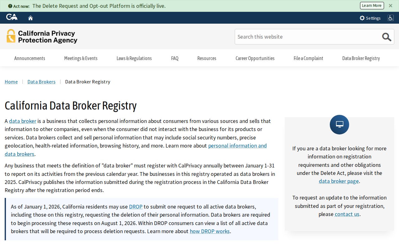
The registry connects a request to the right commercial custodian; county and city retention rules remain.
The California DROP deletion platform describes the one-stop request route for registered data brokers.
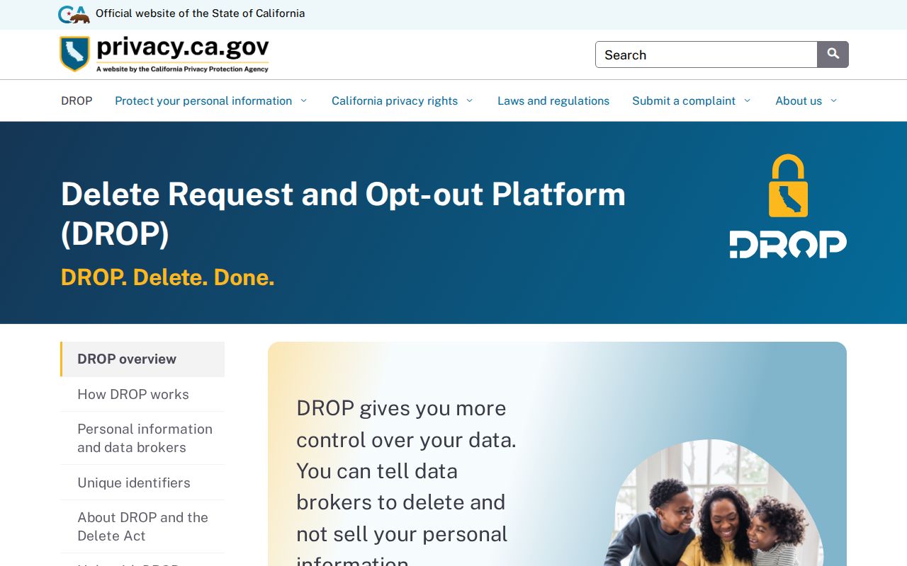
DROP launched January 1, 2026. Brokers began processing requests August 1, 2026; one verified request can reach 600+ registered brokers.
The California Attorney General's CCPA guidance explains consumer rights to know, delete with exceptions, correct, opt out of sale or sharing, and limit sensitive-information use.
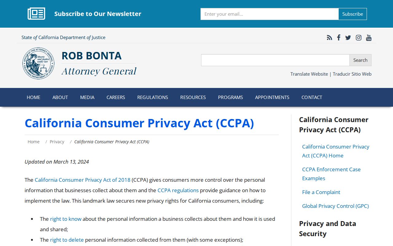
These remedies apply to commercial copies; county and city custodians keep their own access rules.
Public Safety Sources for Loma Linda Neighbors
Public-safety pages have narrow purposes. They are not a block roster or complete history. Read the official fields and stop when the result does not answer the question.
The California Megan's Law Website provides an official offender name and map search with statutory use warnings. Its public display is a safety resource, not a GIS neighbor map.
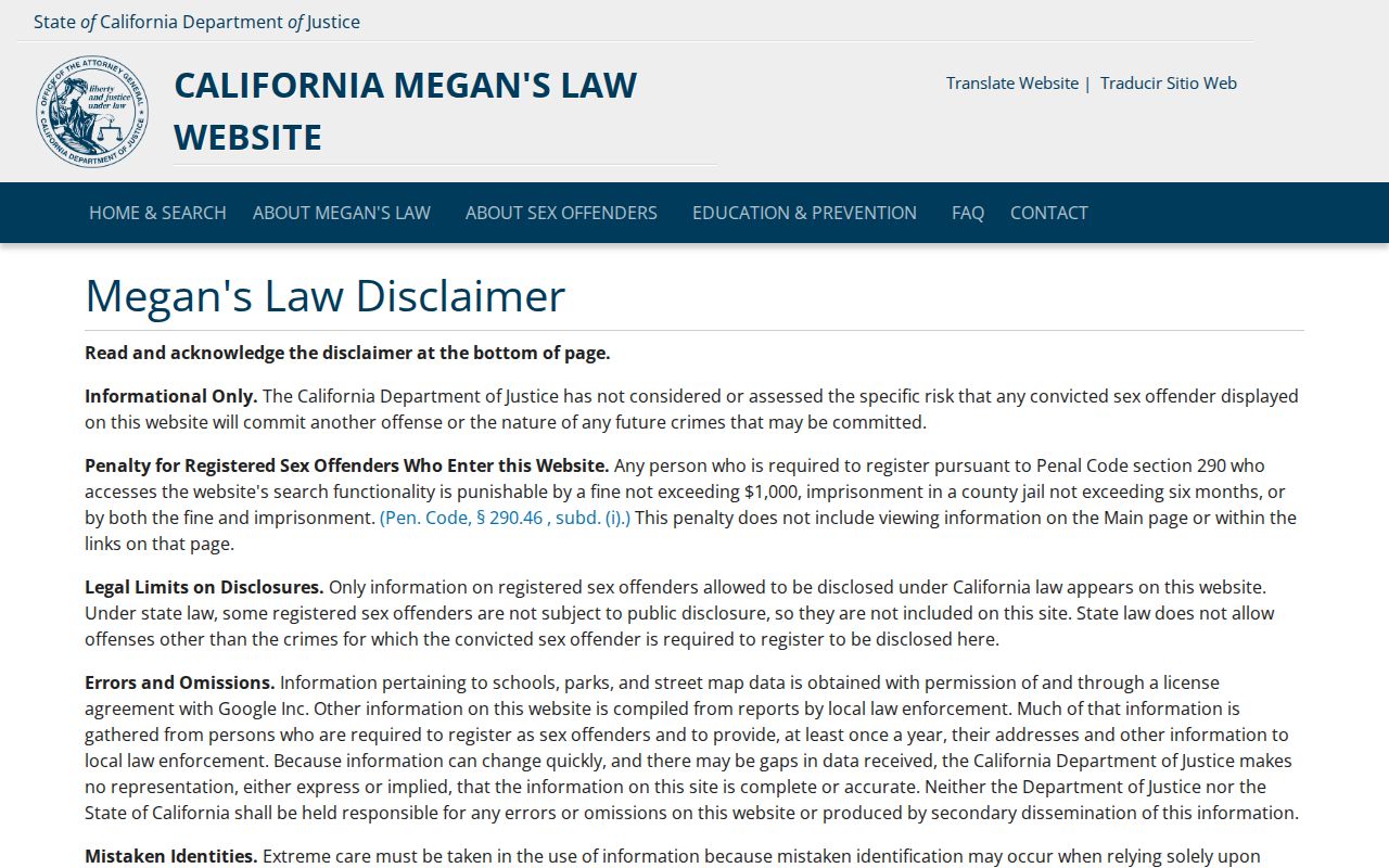
Use the registry only as its warnings permit. It does not establish who lives on an adjacent parcel, and misuse can harm people.
The San Bernardino County Sheriff's inmate locator is a current-custody lookup, not a neighborhood roster or complete criminal-history source.
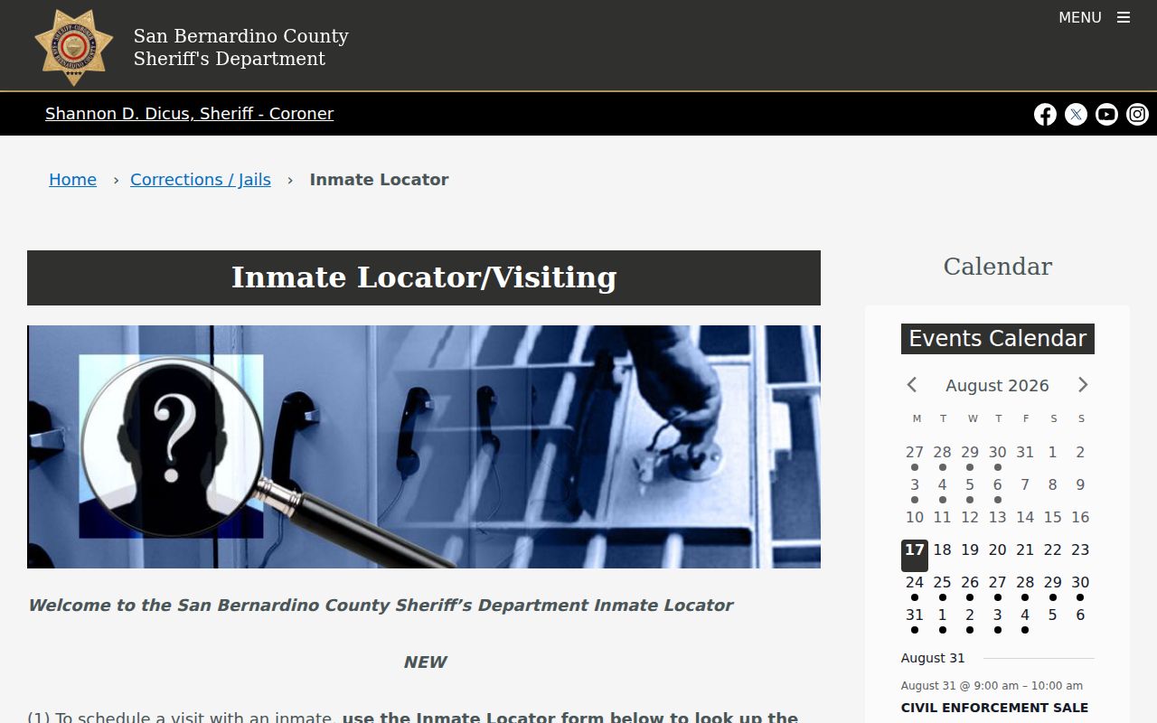
A custody result does not prove present Loma Linda residence or a particular block location.
Lawful neighbor research. Use parcel, civic, and public-safety records for a specific personal or civic purpose. Never use an address or name to stalk, repeatedly contact, threaten, harass, or intimidate anyone. California Penal Code section 646.9 addresses stalking, section 653m addresses certain threatening or repeated electronic contacts, and Code of Civil Procedure section 527.6 provides a civil-harassment restraining-order process.
A missing result may reflect a protected address, specialized custodian, index cutoff, or a record that was never public. Stop and use the documented route rather than guess.